Region detail
Latest news for this route

Media statement from Network Rail
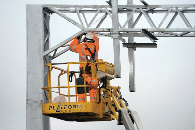
A number of vital rail projects in Network Rail’s £200m investment programme to improve and maintain Britain's railway have been completed this morning as millions of people return to work by train.
£7m investment project kicks off in Wimbledon - please check before you travel!
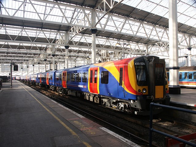
Work has begun on a £7m project to rebuild a crucial railway junction in Wimbledon, which will affect journeys through the station for the next 6 weekends.
King's Cross reopens this morning
King's Cross station reopened this morning (04:57) following the completion of late running improvement work north of the station.
King's Cross passenger disruption update
Robin Gisby, managing director, network operations, Network Rail, said: "I'm deeply sorry for the delays, upset and upheaval caused today to passengers impacted by our overrunning improvement work outside King's Cross.
Rochdale Road bridge in Manchester reopens early
Rochdale Road bridge in Manchester has reopened to traffic ahead of its orginal January 2015 date.
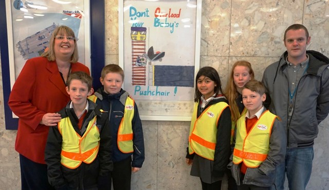
Pupils have designs on safety for passengers at Leeds station
Pupils from Bramley St Peter’s Church of England School, near Leeds, have designed special safety posters for the festive period, which are now on display at Leeds station.
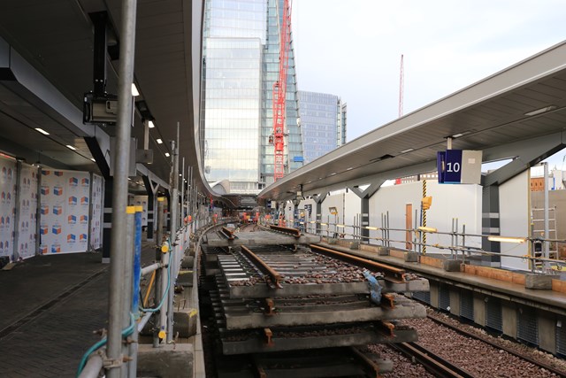
Pictures: Finishing touches to new platforms at London Bridge, ready for the New Year
The finishing touches are being made to a pair of new platforms at London Bridge rail station, ready for their introduction after Christmas.
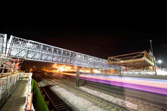
TIMELAPSE AND PICTURES: Massive new bridge launched across railway in south London – while trains still run
Network Rail ensured that passengers travelling between East Croydon and London Bridge experienced no disruption over the past week while a new bridge was inched into place over the tracks.
Results 9889 - 9896 out of 15487